AI Spatial Analysis on Public & Private Big Data
Real Estate Location Intelligence Platform
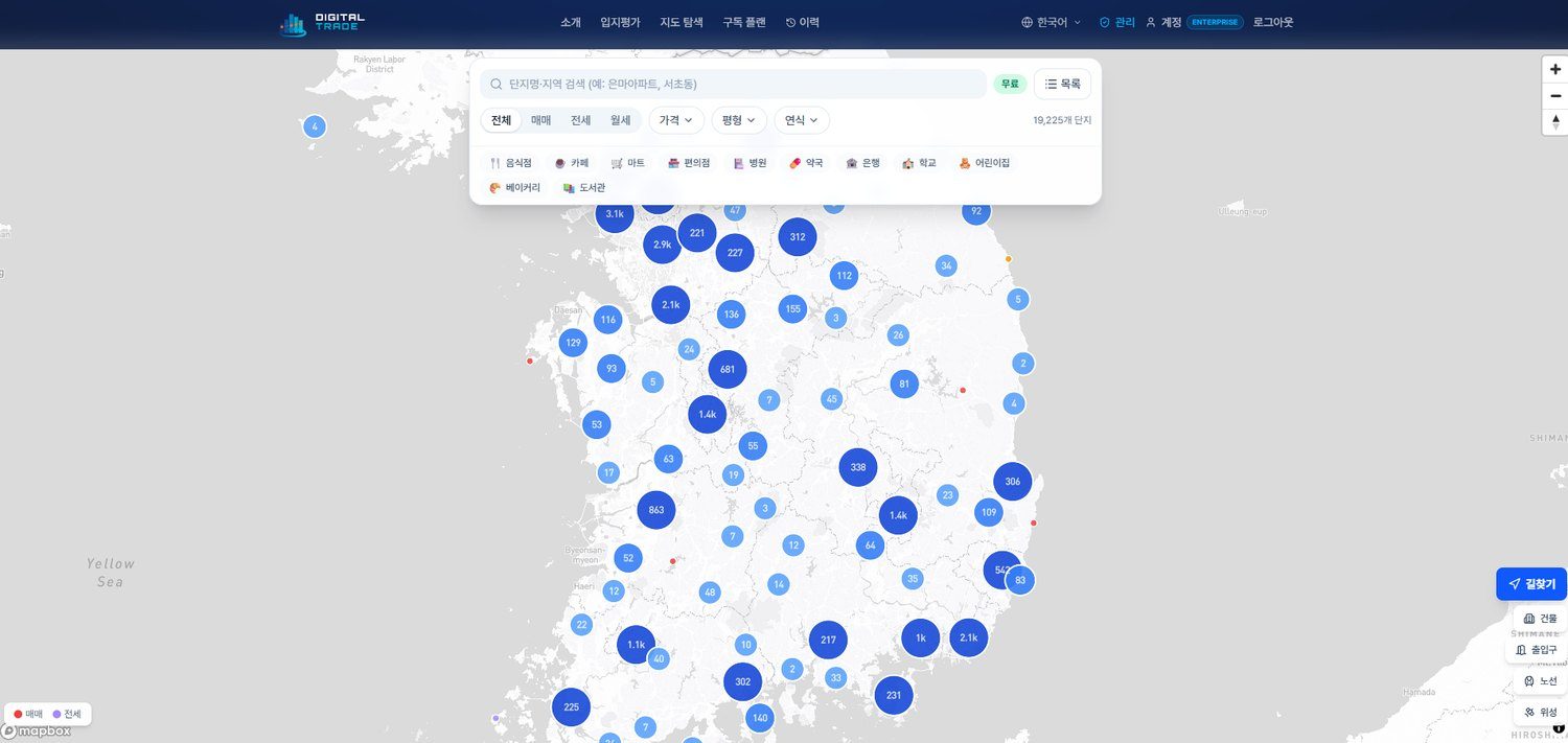
Powered by 15 categories of verified big data — climate, disaster, resources, power, logistics — get precise location scores anywhere in the world, instantly.
Data Partner — AllSea Data × Korean Public Data
Live Analysis
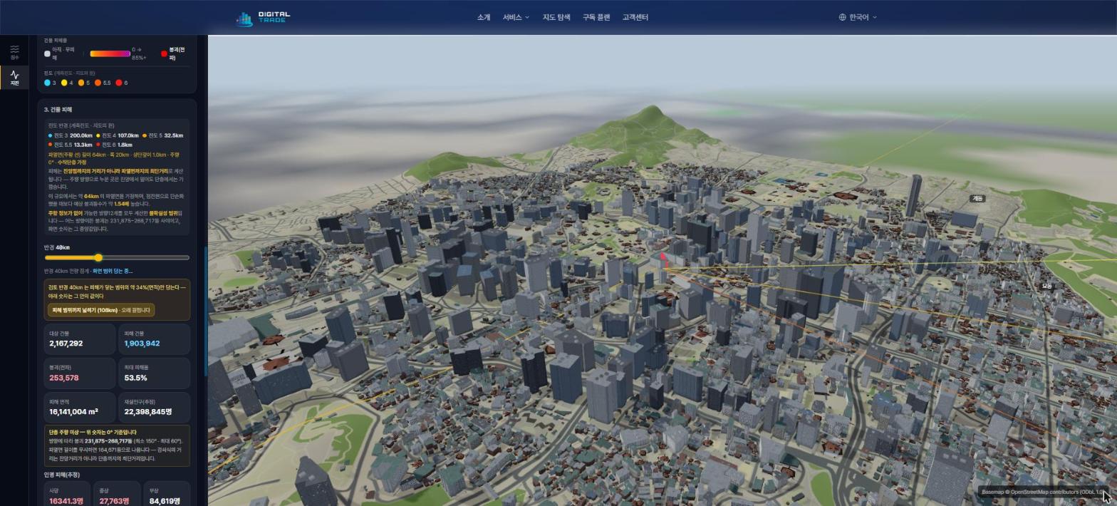
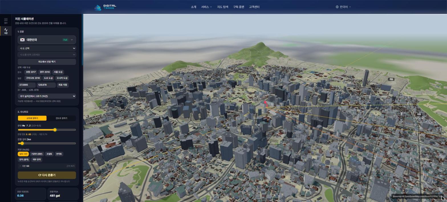
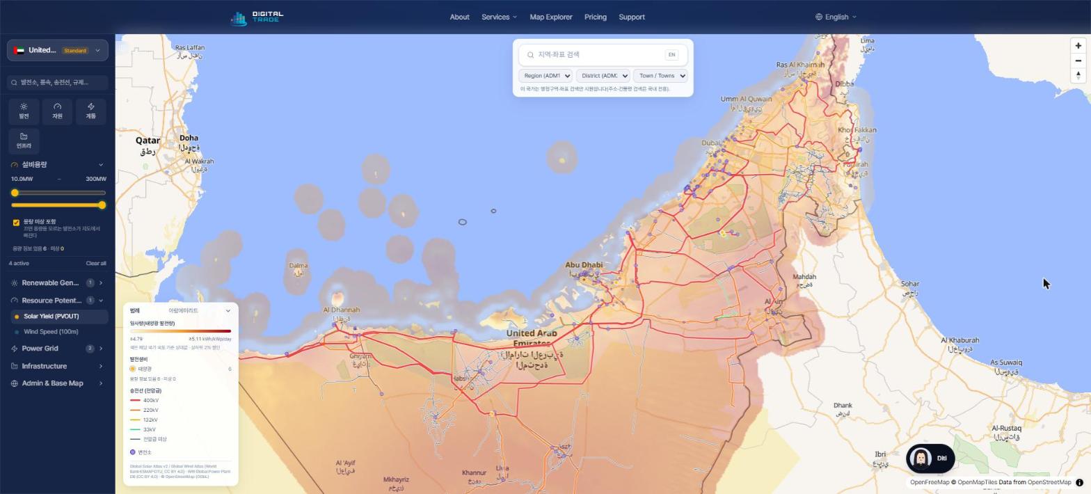
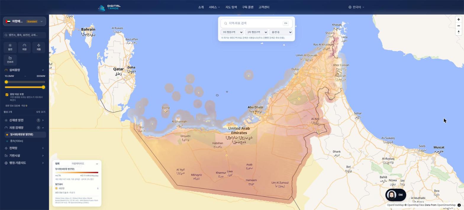
Flood · Earthquake · Solar — Live Analysis Screens
These are simulations and maps run directly on our platform. Change the location and conditions, and the same analysis can be repeated anywhere.
Flood Simulation
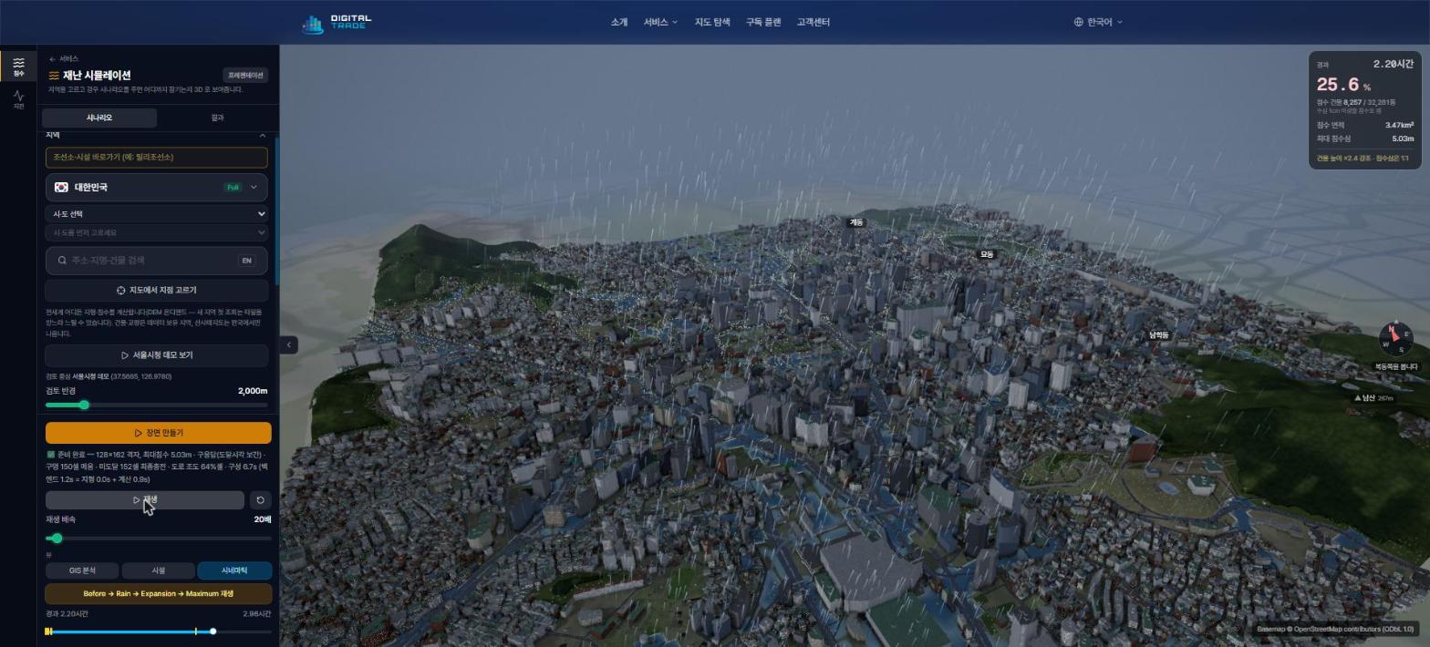
See in 3D how heavy rainfall floods a city
Set rainfall intensity and duration, or pick a real-event preset, and watch the water rise over terrain (DEM) and building data, step by step. Terrain-based flood modeling works anywhere in the world.
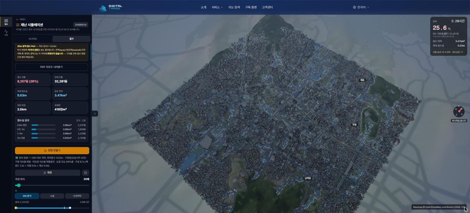
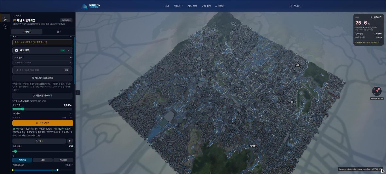
Scenario: 2 km around Seoul City Hall · 200 mm/h for 2 hours
- Step-by-step playback: Before → Rain → Expansion → Maximum
- Area and building counts by flood-depth band
- Switch between cinematic, GIS analysis and facility views
- Download PDF report
Site Analysis Solutions
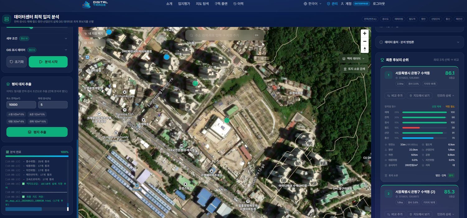
From Data Centers to Apartments
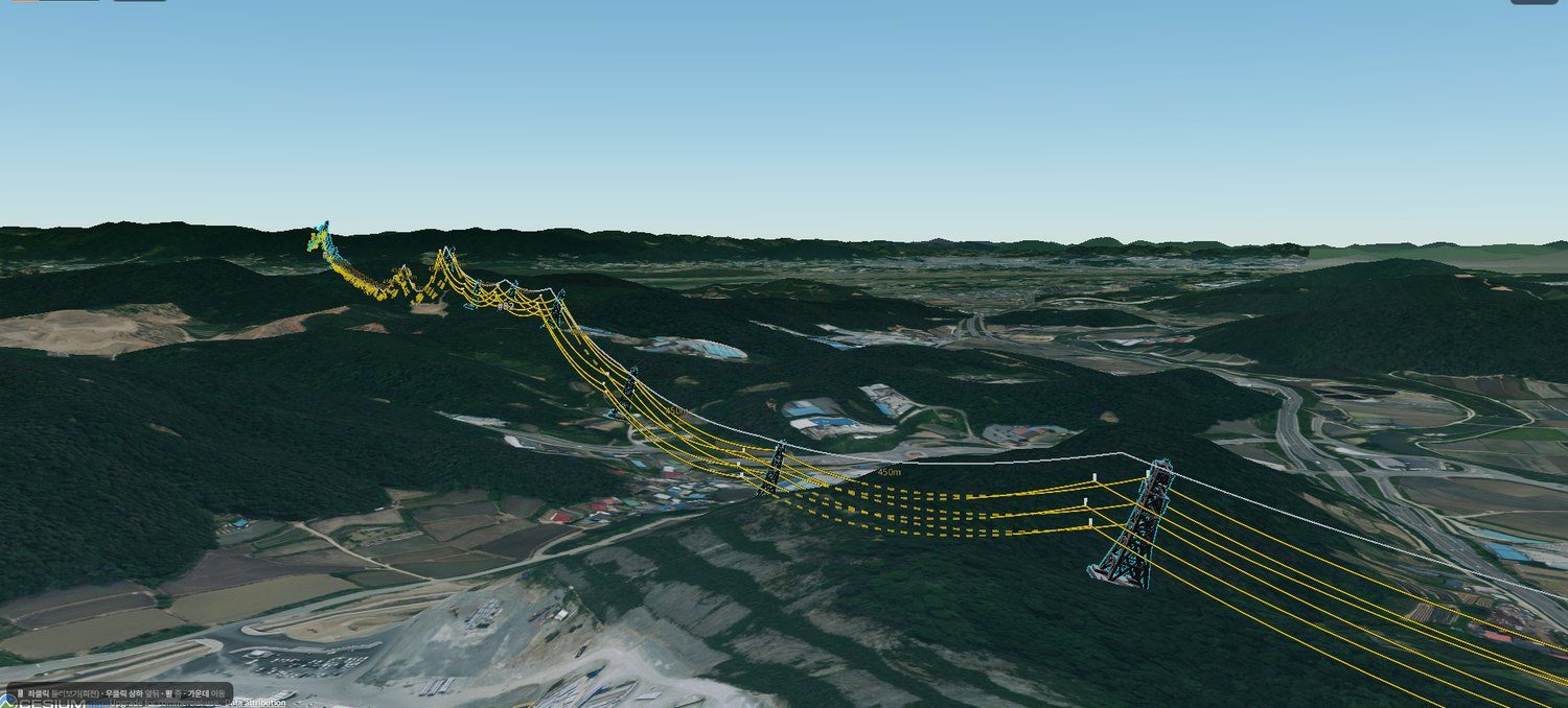
Centered on our flagship data center site analysis, we provide site analysis tools for apartments, logistics, renewable energy, and more.
Data Sources
AI Spatial Analysis on Public & Private Big Data
We integrate major Korean public data with AllSea Data’s proprietary datasets — a continuously expanding big data platform
A specialist data partner holding global verified datasets — vessels, shipping routes, power plants, and mines. AllSea Data’s verified industrial data feeds directly into our location analysis engine.
Key Public Data Sources
15+ big data categories · 100% nationwide coverage — and the data keeps growing
Expert Consultation
Bring Us Your Site Problem — We Solve It with Data
From site acquisition, sale, development, and relocation reviews to infrastructure siting — we deliver a comprehensive report analyzing assessed prices, transactions, infrastructure, and regulations in one pass, plus 1:1 consultation. Data-driven location consulting.
Consultation
Leave your target site and purpose (acquisition, sale, development, relocation) and our team will review it.
Data Analysis
We comprehensively analyze assessed price, transactions, infrastructure, and regulations (e.g. greenbelt) via GIS.
Report & Consultation
We provide 1:1 consultation with a comprehensive report covering site boundaries, nearby prices, and risks.