Disaster Simulation
Run flooding and earthquakes against real terrain and buildings, in 3D.
What you get
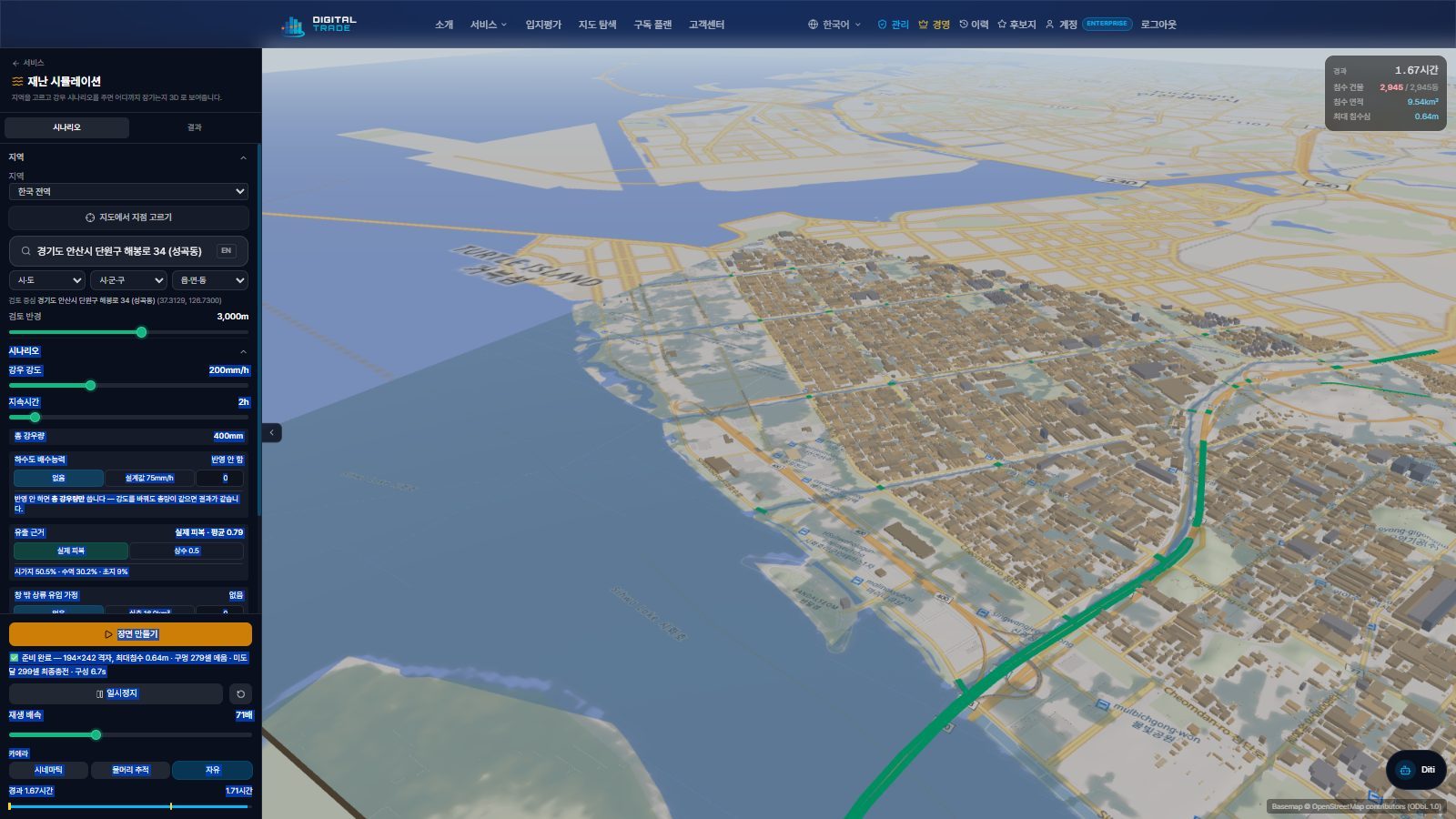
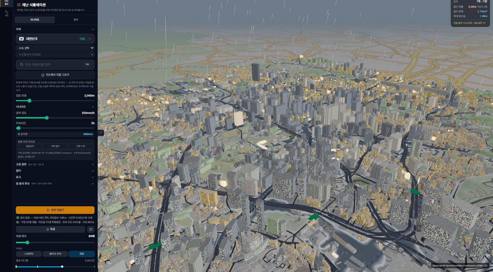
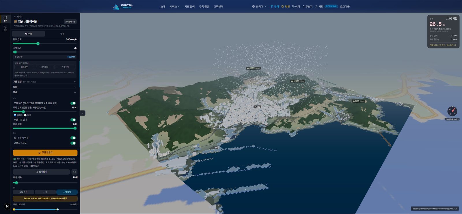
Flood simulation on real elevation data (DEM)
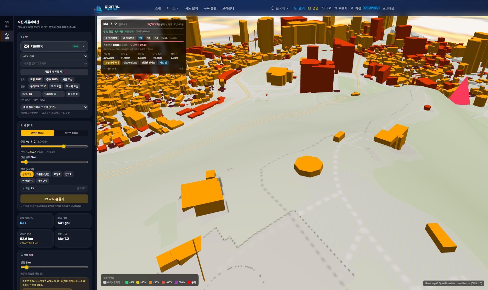
3D visualization of shaking intensity and building damage
Tally the buildings and facilities inside the impact area
Real Screens
These screens run live on the Digital Trade platform.
More in This Category
Expert Consultation
Bring Us Your Site Problem — We Solve It with Data
From site acquisition, sale, development, and relocation reviews to infrastructure siting — we deliver a comprehensive report analyzing assessed prices, transactions, infrastructure, and regulations in one pass, plus 1:1 consultation. Data-driven location consulting.
Consultation
Leave your target site and purpose (acquisition, sale, development, relocation) and our team will review it.
Data Analysis
We comprehensively analyze assessed price, transactions, infrastructure, and regulations (e.g. greenbelt) via GIS.
Report & Consultation
We provide 1:1 consultation with a comprehensive report covering site boundaries, nearby prices, and risks.