Product Demo
What We’ve Built — On Real Screens
These are live analysis screens from the Digital Trade platform. Maps, 3D and reports all run on one location intelligence engine.
3D Simulation · Flood
How Much of the Industrial Complex Floods?
For the Banwol National Industrial Complex, we reproduce flood extent in 3D as water levels rise and summarize affected facilities as cards.
- Flood extent from terrain elevation
- Impact summary by complex and building
- Switch between aerial and ground views
3D Simulation · Earthquake
What Happens to the Buildings?
Set an epicenter and magnitude to visualize ground shaking and per-building damage levels in 3D.
- Shaking distribution from magnitude and epicenter
- Color-coded damage level per building
- Playback of the collapse sequence
3D Simulation · Tsunami
Water Surging into a Coastal City
Shows flood extent in a coastal city over time, step by step as sea level rises.
- Step-by-step water rise playback
- Citywide 3D terrain and buildings
- Switch to analysis view
Screens
Analysis Screen Gallery
Real analysis screens from each service.
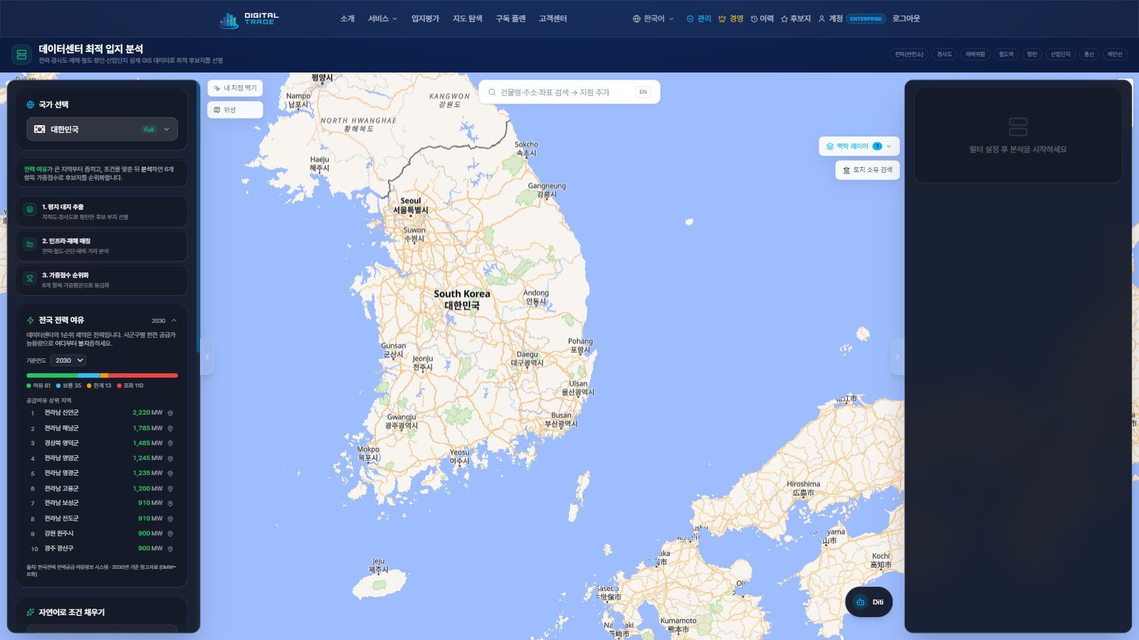
Nationwide candidate parcels with a score panel
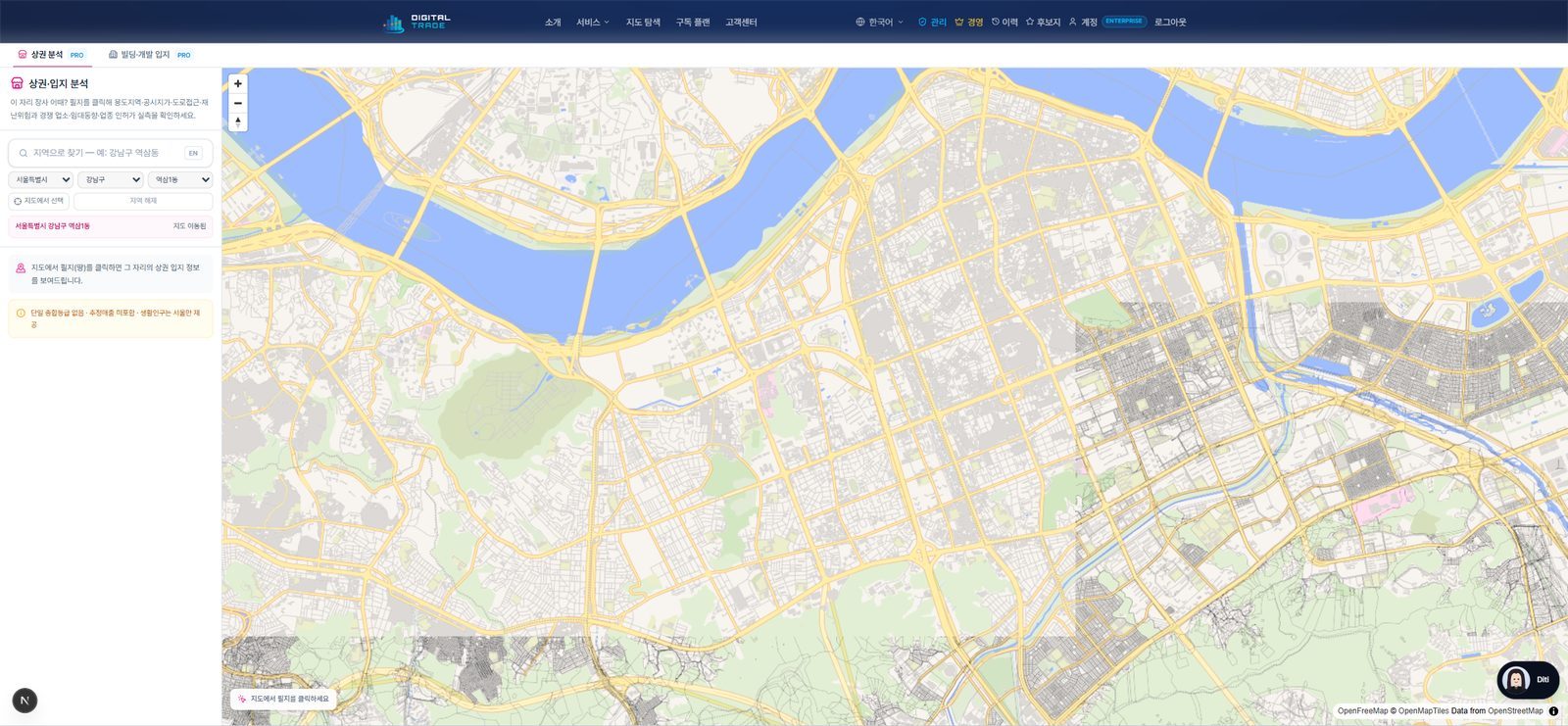
Commerce, regulation and risk in one parcel click
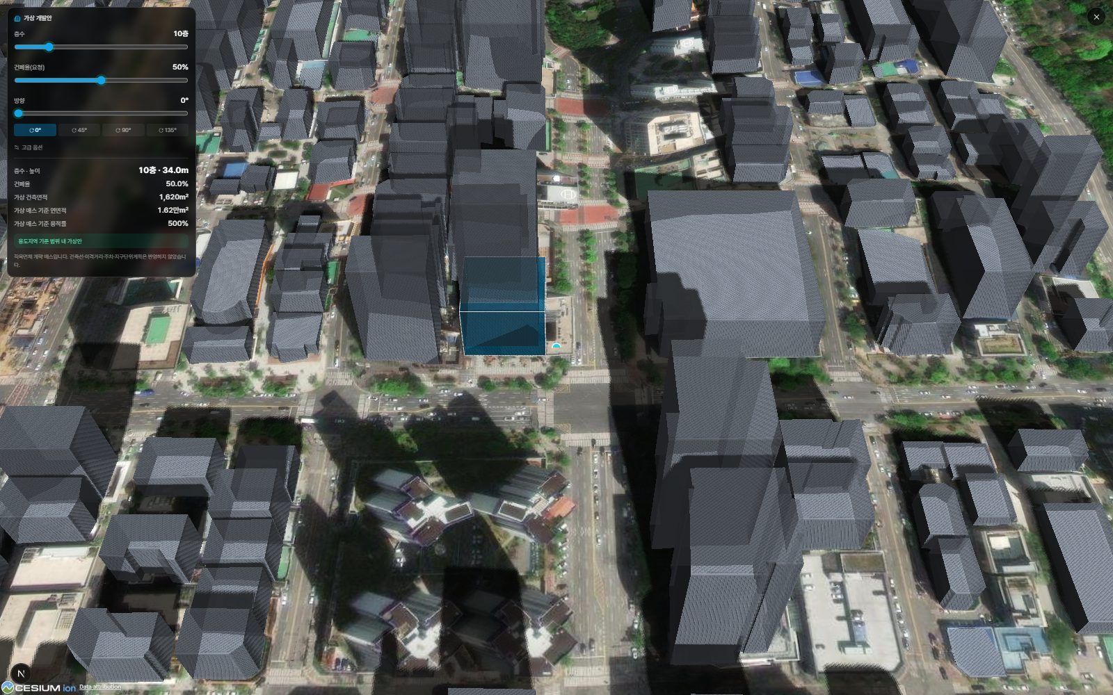
Building volume on the parcel vs. surroundings
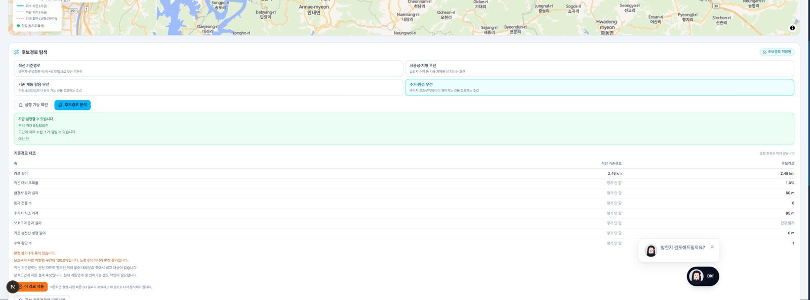
Substations, lines and route candidates

Solar and wind resource and suitability
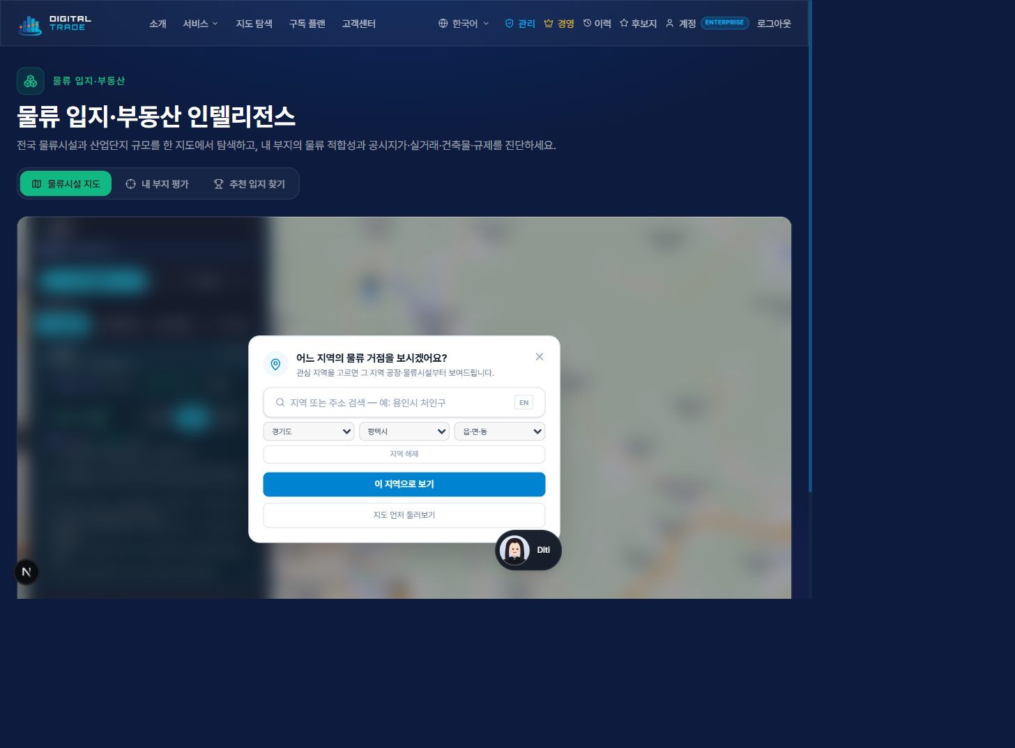
Logistics suitability and carbon metrics
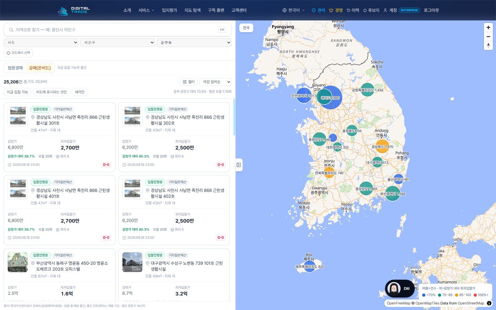
Winning bids and bid-to-value ratios by region
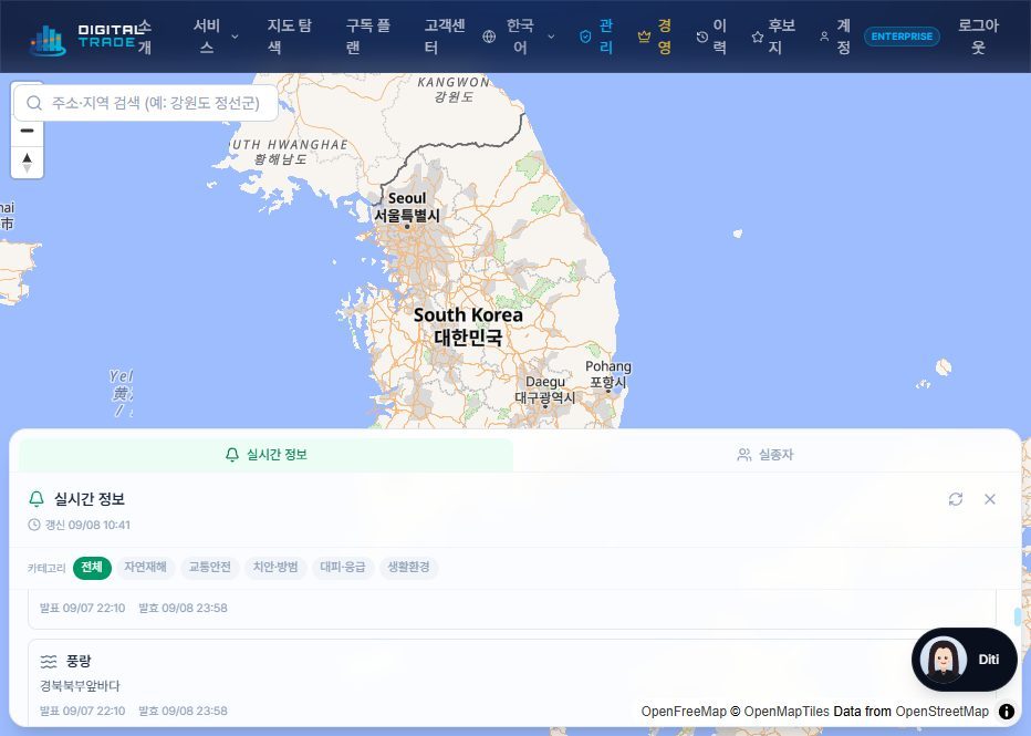
Real-time disaster alerts and shelters
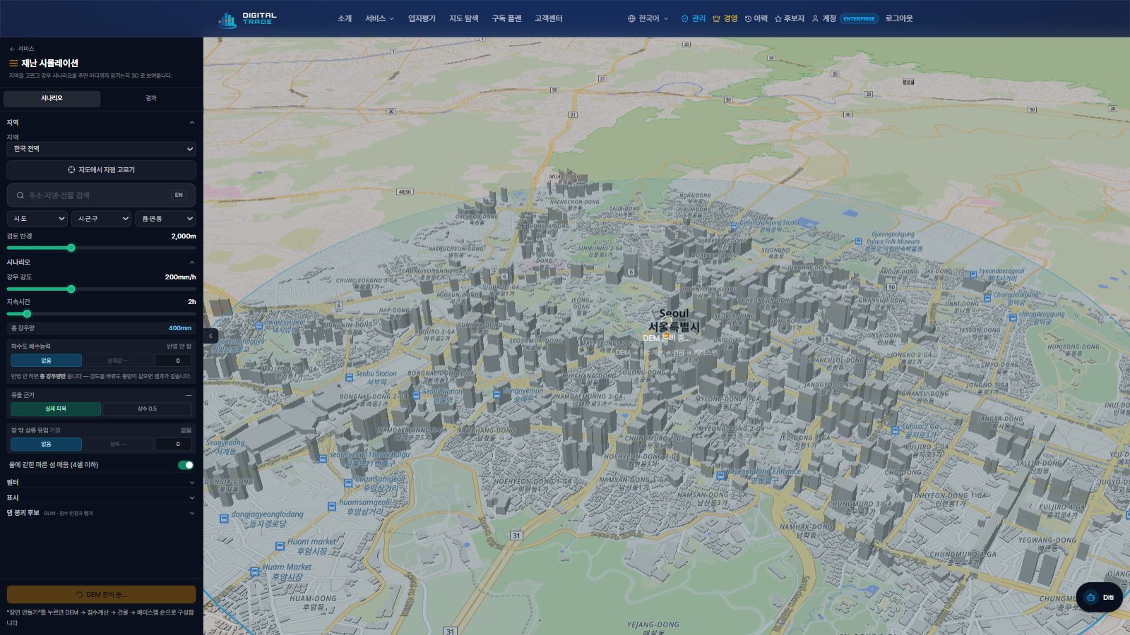
City-scale 3D simulation environment
Expert Consultation
Bring Us Your Site Problem — We Solve It with Data
From site acquisition, sale, development, and relocation reviews to infrastructure siting — we deliver a comprehensive report analyzing assessed prices, transactions, infrastructure, and regulations in one pass, plus 1:1 consultation. Data-driven location consulting.
Consultation
Leave your target site and purpose (acquisition, sale, development, relocation) and our team will review it.
Data Analysis
We comprehensively analyze assessed price, transactions, infrastructure, and regulations (e.g. greenbelt) via GIS.
Report & Consultation
We provide 1:1 consultation with a comprehensive report covering site boundaries, nearby prices, and risks.